


Boucle Mansarde-Rance

Lamartiniere
User GUIDE
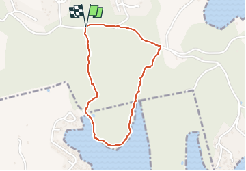

Length
2.4 km

Max alt
63 m

Uphill gradient
61 m
Km-Effort
3.3 km

Min alt
6 m

Downhill gradient
64 m
Boucle
Yes
Creation date :
2023-01-11 13:57:20.161
Updated on :
2023-01-11 18:22:56.537
1h00
Difficulty : Easy

FREE GPS app for hiking
 SityTrail
IGN / Geographical institutes
SityTrail Plus
The world is yours!
About
Trail Walking of 2.4 km to be discovered at Martinique, Unknown, Le Robert. This trail is proposed by Lamartiniere.
Description
Circuit Scolaire voire Seniors, forêt littoral mangrove
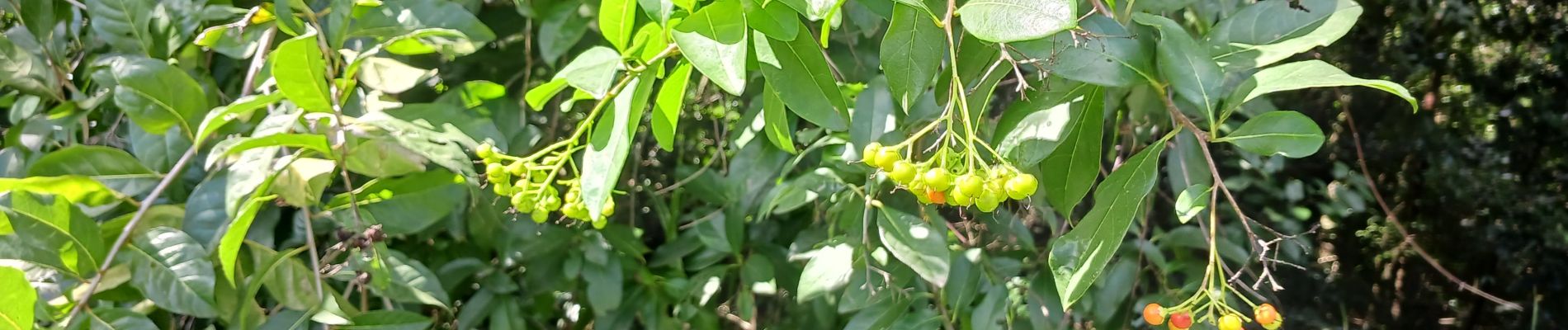
Photos


Positioning
Country:
France
Region :
Martinique
Department/Province :
Unknown
Municipality :
Le Robert
Location:
Unknown
Start:(Dec)
Start:(UTM)
725933 ; 1621661 (20P) N.
Comments